Our fancy new camera allows for uploading of GPS information by way of a companion iPhone app. However, it requires the presence of mind to start position logging in that app before you start taking pictures. I often forget.
Since I love having robust metadata in my pictures, I want to be able to tag items in bulk upon removing them from my camera, even if I forget to tag them as I’m taking them. This allows for me to, among other things, look for pictures based on where they were taken in apps such as Picturelife:
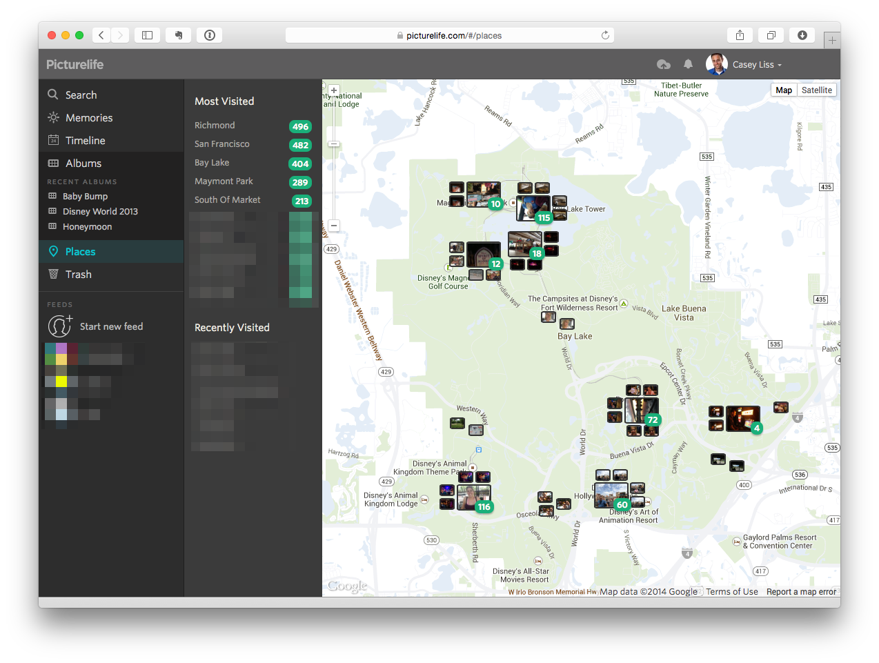
Generally, I don’t care about hyper-accurate geolocation information; I just want to know which pictures were taken at our house, at my parents’, at Disney World, etc.
As expected, the good doctor had a solution.
My process is as follows:
- Go to Google Maps
- Find the location I’m looking for
- Right-click on the map, and choose
What's Here? - Copy the latitude/longitude from the popover in the upper-left hand corner of the map
- Plug in my SD card
- Grab a group of pictures that were all taken at the same location and move them into a staging folder
- Run Dr. Drang’ script on those images. For example:
~/coordinate.py -n 37.219980 -w 80.418054 *.JPG
The files in that staging area can now be processed. In my case, that processing — unsurprisingly — is also largely based on Dr. Drang’s work.
I should note that his script has quite a few dependencies. I found that, since I use
Homebrew, a couple of brew install commands (and a bunch of waiting)
was all it took to get what I needed.